
Smithtown Neighbors by Record Type
Public sources around a Smithtown address answer different questions. The county map finds the block. The Town assessment record identifies a parcel and its listed owner. A deed index dates a transfer. A historical directory may place a subscriber there in a particular year. These are useful starting points for neighbors, but they are not a current household roll. In particular, a tax mailing address can be outside the town, and an owner entry is not proof that the owner occupies the parcel.
| Block source | What it can establish | Access route |
|---|---|---|
| Suffolk GIS Tax Parcels | Adjacent polygons, parcel identifiers, address labels, districts, and map context | Public GIS Viewer; reference map only |
| Smithtown assessment records | Owner entry, situs location, class, assessment, exemption, and tax-map number | BAS tax search or assessment-roll PDFs |
| Suffolk County Clerk index | Recorded ownership transitions, parties, dates, and document placement | Free index; images may require paid access or a counter route |
| Building Department records | Addressed work, inspections, certificates, and dated property changes | Online permit services, staff, or FOIL for older files |
| Historical library sources | Past subscribers, notices, obituaries, and neighborhood context | Long Island Room reference contact and local collections |
For current Smithtown neighbors, begin with the parcel rather than a name. It prevents a common mistake: treating a map label, an old telephone listing, and an owner mailing field as identical evidence.
Map Smithtown Neighbor Parcels
The Suffolk County GIS Viewer is the practical first screen for a block. Turn on Tax Parcels and Address Labels, then use the town, hamlet, ZIP, school, fire, or village layers when an address sits near an edge. Select the target polygon with Identify and repeat on polygons sharing a boundary or sitting across the road. The map can also display building footprints and county-road labels. It is a geographic discovery tool, not an official survey.
The county's Tax Parcel Owners layer and parcel geometry are useful for reconciling a selected lot with an assessment or deed search. The documented service supports queries and selections, with a commonly stated 2,000-record ceiling. Research did not locate a documented one-click radius or buffer command. A visual, parcel-by-parcel check is the supported method.
Use the county tax-parcel layer before moving from a map polygon to a legal record.
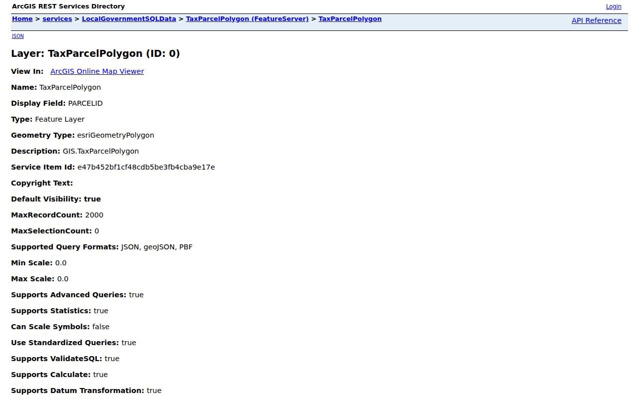
The parcel view makes a block visible, but the selected polygon still needs an assessor or Clerk record before it is used as an ownership clue.
Trace Smithtown Neighbors Parcel by Parcel
A defensible block search follows the parcel ID instead of guessing from house numbers. Each step creates a dated link, and it also shows when the evidence stops. That restraint matters where a townhouse, trust, estate, or corporate owner is involved.
- Locate the address in the GIS Viewer, then note the target parcel and each immediately adjacent polygon.
- Run every parcel through the Smithtown BAS search or assessment-roll range. Keep the situs address separate from the mailing field.
- Use the listed owner or parcel identity in the County Clerk name or tax-map search. Record the document type, recording date, parties, and liber/page or document number.
- For a dated property story, check addressed permits and certificates. For the whole named road, use the fuller Smithtown street directory sequence.
The Clerk index is free and its online layer is generally described as 1987 to present. Older material may mean a counter search, microfilm, records-management help, or a request for a certified copy. A record date should not be reported as a move-in date.
Smithtown Neighbors Across Boundaries
Smithtown's block geography is unusually layered. The town includes Kings Park, Smithtown, St. James, Nesconset, Commack, and Hauppauge, plus parts of Fort Salonga and Lake Ronkonkoma. It also contains the incorporated villages of the Branch, Head of the Harbor, and Nissequogue. Commack and Hauppauge cross into neighboring towns. A nearby address can therefore carry a different postal city or village label while still needing the same county parcel tools.
Fort Salonga is a clear example. It crosses the Huntington and Smithtown line and shares the Northport 11768 postal label. A ZIP or post-office label cannot settle the government jurisdiction. Use the parcel's town and village layers, its DSBL identity, and the tax map when a record names a place differently from a street sign.
Note: A postal label helps deliver mail, but a parcel layer and legal description are the stronger way to place Smithtown neighbors on a boundary block.
Smithtown Block Permits Add Dates
The Town's residential permit service links applications, status, property details, certificates, GIS, inspections, and fee payment. Those records can place an addition, renovation, certificate, or inspection in a property's timeline. Town materials describe permit transactions as permanent records. They do not establish a current resident list.
Older structures can require staff research, a History Letter, or a Letter in Lieu. The Building Department may also rely on survey, assessor, or prior-file information for older work. That is the useful fallback when online status does not provide enough context for a Smithtown block.
Smithtown Neighbor Civic Contacts
Civic groups add a community layer that parcels cannot. Their public sites usually provide board contacts, issue notices, and meeting information, not household rosters. A group affiliation can explain an area's concerns, but it should never be turned into a claim that every person on the block belongs to the group.
| Organization | Public route and local context |
|---|---|
| Fort Salonga Association | Association site; its area crosses the Smithtown and Huntington line, and no public member directory was located. |
| Kings Park and San Remo civic groups | Suffolk Legislature quick links identify the civic layer and current organization routes. |
| Nesconset Sachem Civic Association | Public civic notices are available, but no member directory was documented. |
| Greater Smithtown Chamber | Its member directory lists organizations and businesses, not a street-resident listing. |
Use the Suffolk civic links to find the public-facing community route for a Smithtown neighborhood.
These links are useful for community context and contacts, not for compiling a list of neighbors.
Smithtown Neighbors in Complexes
County planning material recorded 22 condominium or HOA complexes and 2,845 units in the Town of Smithtown in 2021. Its rows show places and development eras, including Fairfield at St. James, Willow Ridge, Regency at Smithtown, Hamlet Estates, and Country Woods at St. James. That context can help explain why many adjacent parcels belong to one development or why a road has a shared association structure.
The report contains complex and unit data, not resident names. Association contacts must be found through the organization itself, and ownership or occupancy must not be inferred from a unit count. The most useful next record remains the parcel, followed by the assessment roll and Clerk index.
Visit the Nesconset Sachem Civic Association for a current example of the public community-notice layer.
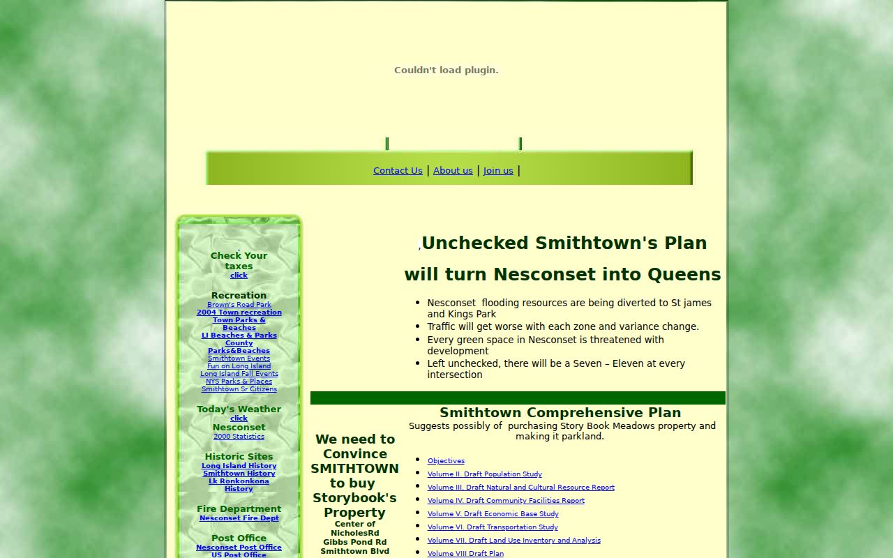
Public civic notices can identify a neighborhood issue or meeting, while personal household information remains outside that public role.
The Greater Smithtown Chamber member directory shows its public organization-and-business layer rather than a household roster.
That distinction keeps an association contact useful without overstating it as evidence about who lives on a particular block.
Smithtown Neighbor Sources Compared
Official records preserve a custodian, record type, and date. A commercial neighbor-search category may combine filings, marketing data, and address history from several sources, but it can merge people with similar names and may lag a correction. Treat a commercial result as an unverified lead, not as proof about Smithtown neighbors.
| Official record route | Commercial summary category |
|---|---|
| Shows the keeping office, date, and specific parcel, deed, or map context. | May combine datasets without showing a complete source trail. |
| Allows a reader to ask the custodian about a correction or a missing image. | Its correction process does not alter an underlying government record. |
A map, a dated deed, and a library directory can also disagree for honest reasons. They describe different events. Keep those distinctions when researching a block.
Smithtown Neighbors and Voter Records
The New York State Voter Lookup is an individual confirmation tool. It uses county, name, date of birth, and ZIP-related information in its public workflow. It is not a street-wide or block-wide roster. A mismatch can reflect a name variation, a changed address, inactive status, or a protected registration. It is not proof that a person never lived there.
New York Election Law protects identifying numbers and confidential registrations. A request for broader voter data has its own written, elections-purpose rules. The Suffolk County Board of Elections is the local route for voter-record questions, corrections, and a specific historical or records request.
Privacy Boundaries for Smithtown Neighbors
Many details about a block do not belong in a public neighbor search. Utility accounts, DMV data, delivery data, unlisted subscribers, sealed court material, confidential voter information, and a non-owner's current presence are not supplied by the ordinary parcel trail. A deed or tax record also has limits: it can be old, it can involve an entity or estate, and it may show a mailing destination rather than the property itself.
New York's Address Confidentiality Program gives qualifying participants a substitute address and protected handling for their actual address. Protected voter procedures have a similar purpose. Do not repost a protected address or use a record to pressure, follow, or intimidate someone.
Lawful use. Smithtown neighbor research is suited to civic curiosity, reconnecting, and understanding a property. Never use a record trail to stalk, harass, threaten, or harm another person.