
Smithtown ZIP Coverage
Eight ZIPs are the best-supported operational postal set for the Town of Smithtown. They should be read as service geography, not as an official town boundary. Suffolk County's ZIP map is dated August 5, 2013 and warns that it can be revised and is not a surveying document. USPS confirms a postal label for a particular address, while the GIS town, village, hamlet, and parcel layers provide the government geography.
| ZIP Code | Areas Covered | Post Office / Postal Label | Notes |
|---|---|---|---|
| 11725 | Commack, including the Smithtown portion | Commack | Commack is divided with Huntington. |
| 11754 | Kings Park | Kings Park | Check parcel edges against town and village layers. |
| 11767 | Nesconset | Nesconset | Use GIS for a parcel-level location. |
| 11768 | Fort Salonga portion and nearby Northport postal area | Northport | Fort Salonga crosses Smithtown and Huntington. |
| 11779 | Lake Ronkonkoma portion | Ronkonkoma | Lake Ronkonkoma crosses Smithtown, Islip, and Brookhaven. |
| 11780 | St. James and nearby village areas | Saint James | Municipal layers help distinguish nearby village geography. |
| 11787 | Smithtown and Village of the Branch | Smithtown | The central postal label does not remove the village distinction. |
| 11788 | Hauppauge portion | Hauppauge | Hauppauge is divided with Islip. |
11755 and 11790 appear only as boundary candidates in the research. Their Smithtown parcel coverage was not verified in the official map and list reviewed, so neither belongs in an unqualified townwide ZIP list. Verify an individual address with USPS and the GIS layers before relying on either label.
Smithtown ZIP Edge Labels
The clearest local mismatch is 11725. Commack is divided between Smithtown and Huntington, so the Commack postal name does not identify the town by itself. At the north side, the Fort Salonga portion of Smithtown can use Northport's 11768 postal label even though Fort Salonga itself crosses the Smithtown and Huntington line. In the southeast, the Lake Ronkonkoma portion with 11779 sits near the three-town edge of Smithtown, Islip, and Brookhaven.
Hauppauge presents a similar issue. 11788 can serve the Smithtown portion, but Hauppauge is also divided with Islip. St. James 11780 can touch Nissequogue and Head of the Harbor geography, while 11787 includes the Village of the Branch within the broader town. A ZIP supplies a useful filter, not a substitute for a tax-map ID, legal description, or municipal layer.
Geography note. A Smithtown address can carry a Northport, Hauppauge, or Ronkonkoma postal label without changing the parcel's actual town, village, or county record route.
Smithtown ZIP Search Tools
ZIP-based work in Smithtown has to use the right tool for the task. BAS does not have a ZIP field, so it cannot return a ZIP-wide assessment list. The New York voter lookup displays ZIP as an input, but it is person-specific and requires a county, name, and date of birth in its normal workflow. County GIS provides a postal layer alongside Tax Parcels, while USPS is the last check for the postal value of one address.
| Official source | ZIP-related input or layer | What it does not do |
|---|---|---|
| Smithtown BAS tax search | No ZIP field; uses bill number, tax map, property address, or owner name one at a time | It does not produce a ZIP-wide resident or parcel list. |
| NYS Voter Lookup | County, last name, first name, date of birth, and displayed ZIP input | It is not a bulk ZIP roster or a town-boundary test. |
| Suffolk GIS Viewer | ZIP Codes and Tax Parcels layers, address labels, Identify, Find, and Query | It is reference mapping, not a legal survey. |
| County Clerk land index | Tax-map ID and name or document search modes | It is parcel-keyed, not ZIP-indexed. |
| USPS address lookup | A specific delivery address | It does not establish the town or village boundary. |
The USPS postal-label source illustrates the postal reference layer used beside local map data.
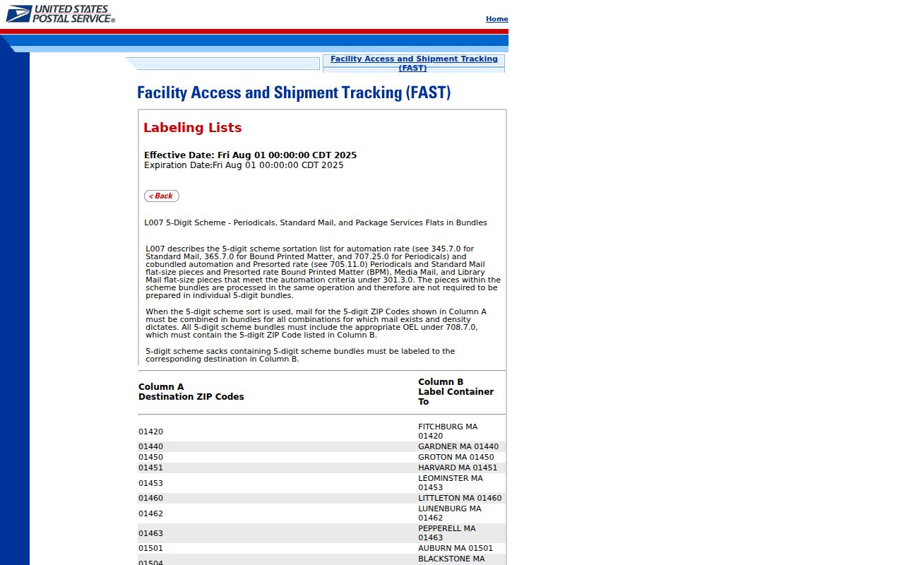
Postal labels are helpful for narrowing an address, but parcel and jurisdiction layers still decide how a local record should be routed.
Search Smithtown Residents by ZIP
Use a ZIP to narrow a person or parcel search, then change tools as the evidence becomes more exact. This workflow avoids the mistaken assumption that a ZIP is a public list of residents. It also preserves the difference between an assessed owner, a voter match, a recorded party, and a person found in a dated local source.
- Verify the mailing ZIP for the specific address with the USPS address lookup, especially near a town or postal edge.
- Turn on ZIP Codes, Town Boundaries, Hamlets, and Tax Parcels in the Suffolk GIS Viewer, then identify the parcel and record its tax-map ID.
- Use BAS with the street address or tax-map number. Because BAS has no ZIP field, use address ranges, tax-map roll ranges, or map browsing rather than a ZIP-wide query.
- When confirming a named person, use the New York voter lookup with Suffolk, the person's name, date of birth, and ZIP as a narrowing input. Respect protected-voter and confidentiality rules.
- Move to the County Clerk with the owner or tax-map result when the question concerns a recorded document, legal description, or deed history.
Once a ZIP has narrowed the area to an actual address, the Smithtown street directory has the fuller parcel, deed, permit, and historical-by-address sequence. A ZIP alone should never be used to claim that someone lives in a particular town or at a particular property.
Smithtown ZIP Parcel Geography
The County GIS Viewer is where postal geography meets the tax map. Its Jurisdiction group includes ZIP Codes, Town Boundaries, Villages, Hamlets, School Districts, Sewer Districts, Fire Districts, and other overlays. Its Records group includes Tax Parcels and the Tax Parcel Owners table. Turn on the ZIP layer with Tax Parcels, select a polygon, and then carry the parcel ID to the Assessor or County Clerk. This is the most reliable way to test a boundary candidate without treating a postal name as a legal conclusion.
The Suffolk County GIS source provides the county's maps and open-data gateway.
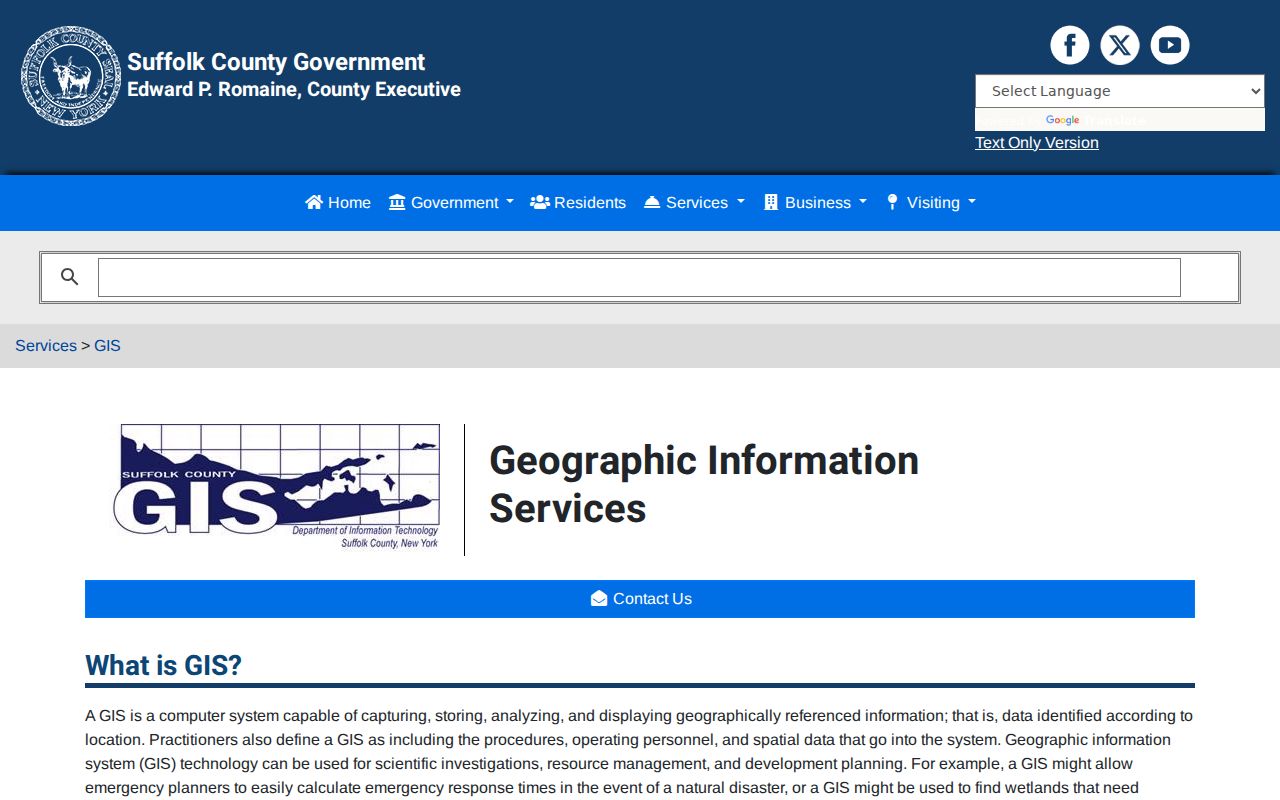
The GIS route makes the overlap visible, then the parcel identifier supplies the more durable link to assessment and land-record systems.
Smithtown ZIP Parcel IDs
Suffolk County uses District, Section, Block, and Lot identifiers, often called DSBL, to distinguish parcels. The Tax Map Division says every parcel has a district, section, block, and lot, and gives a sample pattern of district 0200, section 001.00, block 01.00, lot 001.000. The county is the sole authority for the official tax map and reports more than 585,000 county parcels. That number is more stable than a ZIP label when a road, postal city, subdivision, or boundary overlay is confusing.
New tax-map numbers flow through the town assessor and planning process. A parcel must exist before a recording receives a new tax-map number. For deed and map research, the County Clerk's tax-map search uses the parcel ID, not ZIP. Carry the DSBL or other displayed tax-map identity from GIS or BAS into the next search rather than attempting to infer it from the postal code.
The Suffolk Tax Map Division source explains the county parcel-geography authority.
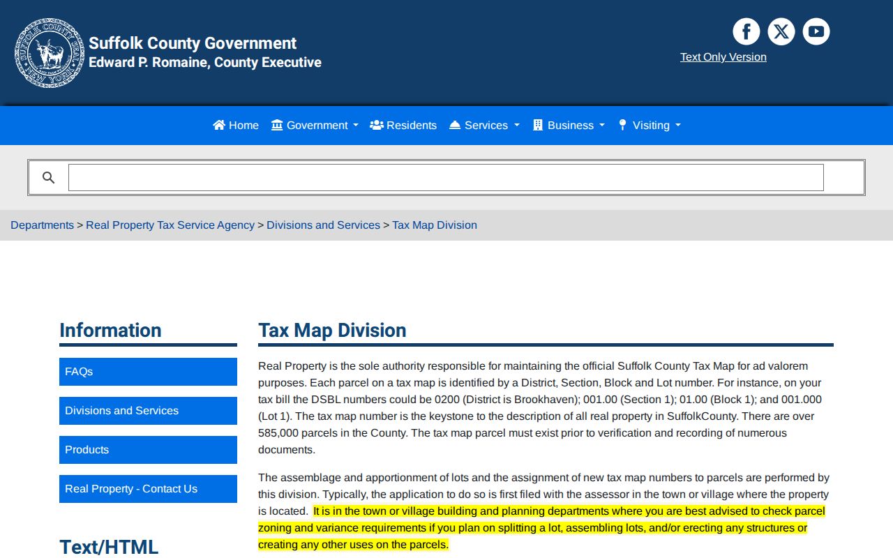
The tax-map route is especially valuable at a ZIP boundary because it gives the parcel a county record identity independent of its postal label.
Smithtown ZIP Boundary Overlaps
ZIP boundaries and Smithtown government boundaries answer different questions. The postal system assigns a delivery label, while the town, incorporated village, hamlet, county tax map, school district, and fire district each describe a different geographic relationship. An address may truthfully have Smithtown town government, a Northport or Hauppauge postal label, a village government, and a Suffolk tax-map number at the same time.
This boundary overlap is part of Smithtown's local geography, not a mistake to smooth away. The official county ZIP map provides useful context but is dated and subject to revision. USPS should verify a particular postal address. The GIS town and village layers, combined with a Tax Parcel Identify result, should verify the local government geography. If records disagree, compare the situs address, legal description, and parcel identifier before choosing a custodian or making an assumption.
Smithtown ZIP Definitions
Postal terms have narrow meanings. Keeping them separate helps prevent a delivery label from being treated as a geographic record. The terms below explain what a ZIP can and cannot supply in a Smithtown search.
- ZIP Code
- A postal routing code used to deliver and sort mail. It can cross town, hamlet, or village boundaries.
- ZIP+4
- An added four-digit postal segment that refines delivery routing after the five-digit ZIP. It does not change the municipality.
- PO-box ZIP
- A ZIP used for post office boxes rather than a general delivery area. None is asserted for Smithtown here because the research did not document one.
- Unique ZIP
- A code assigned to a single institution or large recipient. The research did not verify a Smithtown unique ZIP.
- Carrier route
- A USPS delivery grouping used for mail distribution. It is not a town boundary or a resident roll.
The operational list above is intentionally limited to supported primary ZIPs. Where the research lacks verification for a category or boundary candidate, the proper response is an address-level postal and parcel check.
Smithtown ZIP Verification Limits
Use USPS for the final postal check on one address. The research did not capture an interactive Smithtown USPS result, so a portal screenshot does not replace a live address test. The county map also warns against survey use. Together, these limitations mean that no ZIP result should be used as proof of parcel ownership, present occupancy, town residency, or a boundary line.
The USPS address-to-ZIP lookup is the documented final postal-verification route for a specific Smithtown address.
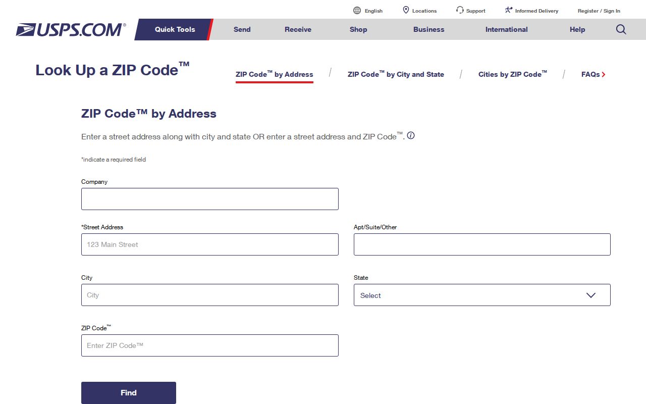
Confirm the postal answer there, then use GIS and the assessor or County Clerk record for the separate parcel and public-record questions.
Lawful use. Treat a ZIP result as geographic context for lawful personal research, family history, property questions, or civic understanding. Do not use location information to stalk, harass, intimidate, or harm another person.