
Smithtown Street Search Starting Point
A street search in Smithtown begins with an address, not a name. The Town Assessor's BAS tax search can return a tax account from a property address, owner name, tax-map number, or bill number. That first result is a parcel lead. It may identify an owner and a mailing address, but it does not establish who presently occupies the location. Keep the property location, tax-map identifier, and date of each record together as the search moves from town records into Suffolk County records.
Use the same sequence for one address or for a short street segment. The order below keeps each source in its proper role. It is especially useful where a postal label, hamlet name, and town boundary do not agree.
- Enter the address in BAS without the street type, then save the owner entry, situs location, and tax-map result.
- Open the parcel in the Suffolk County GIS Viewer and compare its polygon with address labels, hamlets, ZIP Codes, and jurisdiction layers.
- Search the current owner as a grantee in the County Clerk index, then follow the prior grantor back through the deed chain.
- Use the New York voter lookup only for a person-specific confirmation, with the required identifying information and Suffolk County selected.
- For an earlier period, ask the Long Island Room about telephone or criss-cross material and compare any dated listing with the parcel and deed trail.
Each step changes the question. The assessor identifies a parcel, the deed index identifies transactions, a voter match is limited confirmation, and a historical listing can place a subscriber at a point in time. None creates a complete current list of people on a road.
Smithtown Street Address BAS Keys
The BAS portal accepts one search key at a time. For a property address, enter the house number and street name while leaving out Road, Street, Avenue, or another street type. If the exact address does not work, the tax-map number or an owner surname can provide another route. An owner search uses last name then first name and supports partial matching, so a surname-only search is the sensible fallback when the full name misses.
| BAS field | How to enter it | Street-directory use |
|---|---|---|
| Property Address | House number plus street name, without the street type | Starts an address-specific parcel search. |
| Tax Map # | Use the town's punctuated format, such as 99.-9-99 | Keeps a parcel tied together when labels vary. |
| Owner Name | Last name then first name; try surname alone | Finds an assessed owner, entity, estate, or trust entry. |
| Bill # | Current bill number, omitting digits after a dash | Connects a known tax document to its account. |
Clear the form between searches. BAS does not intersect an address with an owner field, and it has no ZIP-wide search. Assessment-roll PDFs are a practical fallback when the live search is unavailable because their tax-map ranges can help locate a segment, although the resulting owner and mailing fields remain dated assessment information.
The Smithtown Assessor source page introduces the office that maintains assessment and property inventory.
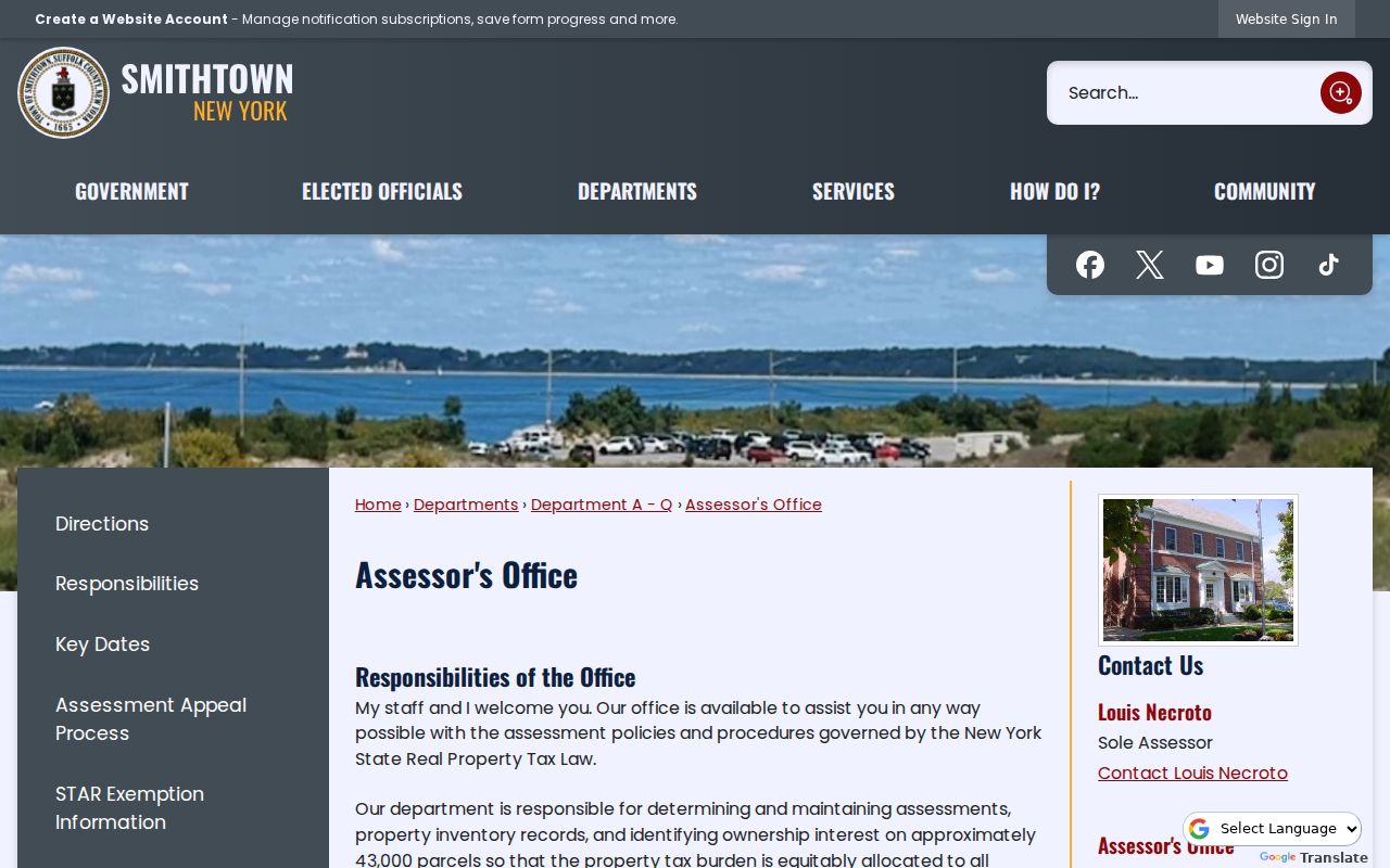
The source view supports using the Assessor as the town-level start for a parcel record, then moving to the county systems for title and map context.
Smithtown Street Parcels in GIS
The Suffolk County GIS Viewer is the street-level map step. Turn on Tax Parcels and Address Labels, zoom to the relevant block, and use Identify on a parcel polygon. The viewer can also display Street Labels, County Roads, Building Footprints, Hamlets, Town Boundaries, Villages, ZIP Codes, School Districts, Fire Districts, Sewer Districts, and Tax Parcel Owners. These layers reveal which geography is being described before a researcher carries the parcel ID into an assessment roll or deed index.
GIS is useful for discovery, not for a legal boundary decision. County guidance says map accuracy is not guaranteed for legal or engineering use. The responsible sequence is polygon, tax-map ID, assessor or roll, then County Clerk record. The viewer's Find, Identify, and structured REST Query functions can help locate an address or named feature; a query or selection commonly has a 2,000-record ceiling.
The Suffolk County GIS Viewer provides the street, parcel, and jurisdiction view used for this Smithtown address-research step.
Seeing the parcel beside the address labels helps prevent a postal place name from being mistaken for a town or village boundary.
Smithtown Street Record Coverage
Address-keyed records answer different questions. A property roll can show an assessed owner, while a deed places parties in a recorded transaction. A permit documents work at a location. A voter record is not a block list. Keeping those limits visible makes an address search more accurate and less intrusive.
| Address record | Custodian | What it can establish | Access route |
|---|---|---|---|
| Assessment roll or tax account | Smithtown Assessor and Tax Receiver | Situs, tax map, owner fields, class, assessment, exemptions, and mailing fields | BAS and roll PDFs; one search field at a time. |
| Parcel polygon and tax map | Suffolk GIS and Real Property Tax Service Agency | Parcel ID, surrounding lots, ZIP, hamlet, and district context | Public viewer; reference material, not a survey. |
| Deed, mortgage, lien, or map index | Suffolk County Clerk | Parties, document type, recording date, liber/page or document number, legal description | Free index; image access may be paid; older records need another route. |
| Permit or certificate | Smithtown Building Department | Addressed work, status, inspection, certificate, and construction-change history | Online links and staff or FOIL assistance for older files. |
| Voter record | NYS and Suffolk Board of Elections | Limited named registrant confirmation and election information | Individual lookup and statutory, privacy-limited request routes. |
| Historical directory or newspaper | Smithtown Library and historical collections | Dated subscriber, address, last-residence, family, or event clues | Collection-specific research; exact reverse run is not verified. |
The parcel ID is the strongest join between the map, roll, and land records. A street spelling may change in ordinary use, and a postal label can cross a town line. The legal description and tax-map identity are the steadier tests when a search result conflicts with the physical address.
Smithtown Street Deed Chain
After BAS supplies the present owner and parcel identity, search the owner as a grantee in the Suffolk County Clerk's Name Records Search. Choose Starts With or Exact as appropriate, narrow the date range, and separate deeds and mortgages from judgments and liens. The detail record can identify the document type, recording date, parties, liber and page or document number, and legal-description references. The recording date is a filing clue, not necessarily the closing date.
Next, search the seller or grantor from the acquisition deed as a grantee in earlier years. Repeat one transfer at a time. A trust, estate, corporation, subdivision, merger, or filed map can make the chain branch, which is when the legal description and map abstract matter more than the street wording. The clerk's public online record system begins in 1987, but Suffolk land-record custody reaches to the 1660s. When the online chain stops, ask the County Clerk counter, Records Management Center, or microfilm and deed-book route for older material.
The GIS map-service source shows the County layers that help reconcile a parcel before its deed chain is followed.
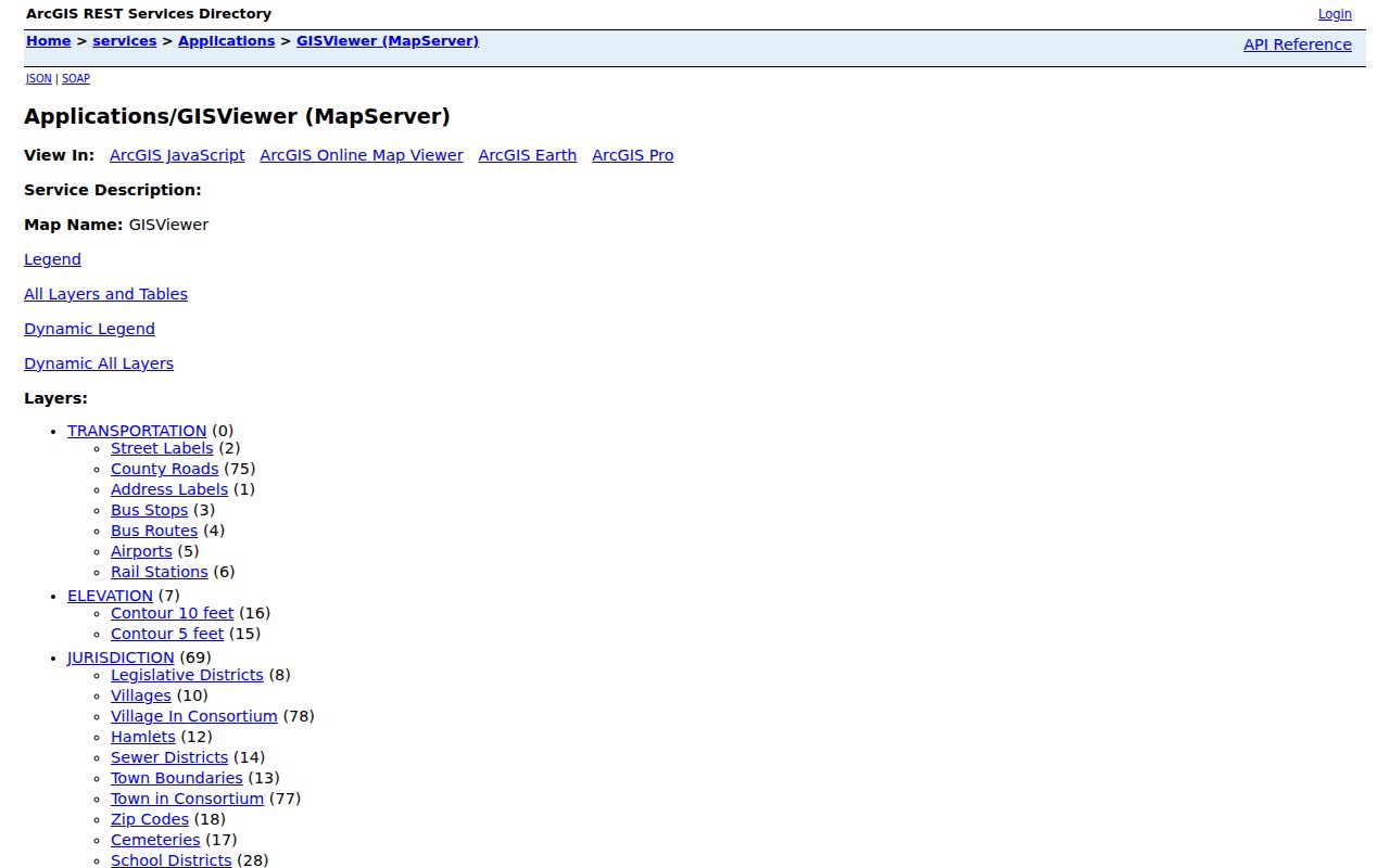
Those layers support the parcel-to-record sequence, but the County Clerk index remains the source for recorded ownership documents.
Smithtown Street Permit Trail
Permits add dates to a street record. Smithtown's Building Department issues building, addition, alteration, sign, certificate, and inspection records, and the town describes those transactions as permanent records. The online residential permit route includes applications, status, property details, certificates, GIS, inspections, and payment connections. It documents a property change, not a current-residence list.
Older structures can require staff research. The town describes a History Letter or Letter in Lieu route for structures built before permit requirements, and its built-prior application asks for ownership proof, a work year, surveys or plot plans, plan sets, photos, and related documentation. If the online materials do not answer the address question, contact the department or use a FOIL request for an existing record instead of assuming that a searchable archive exists.
The Smithtown residential permits source shows the town's online path to property details and status information.
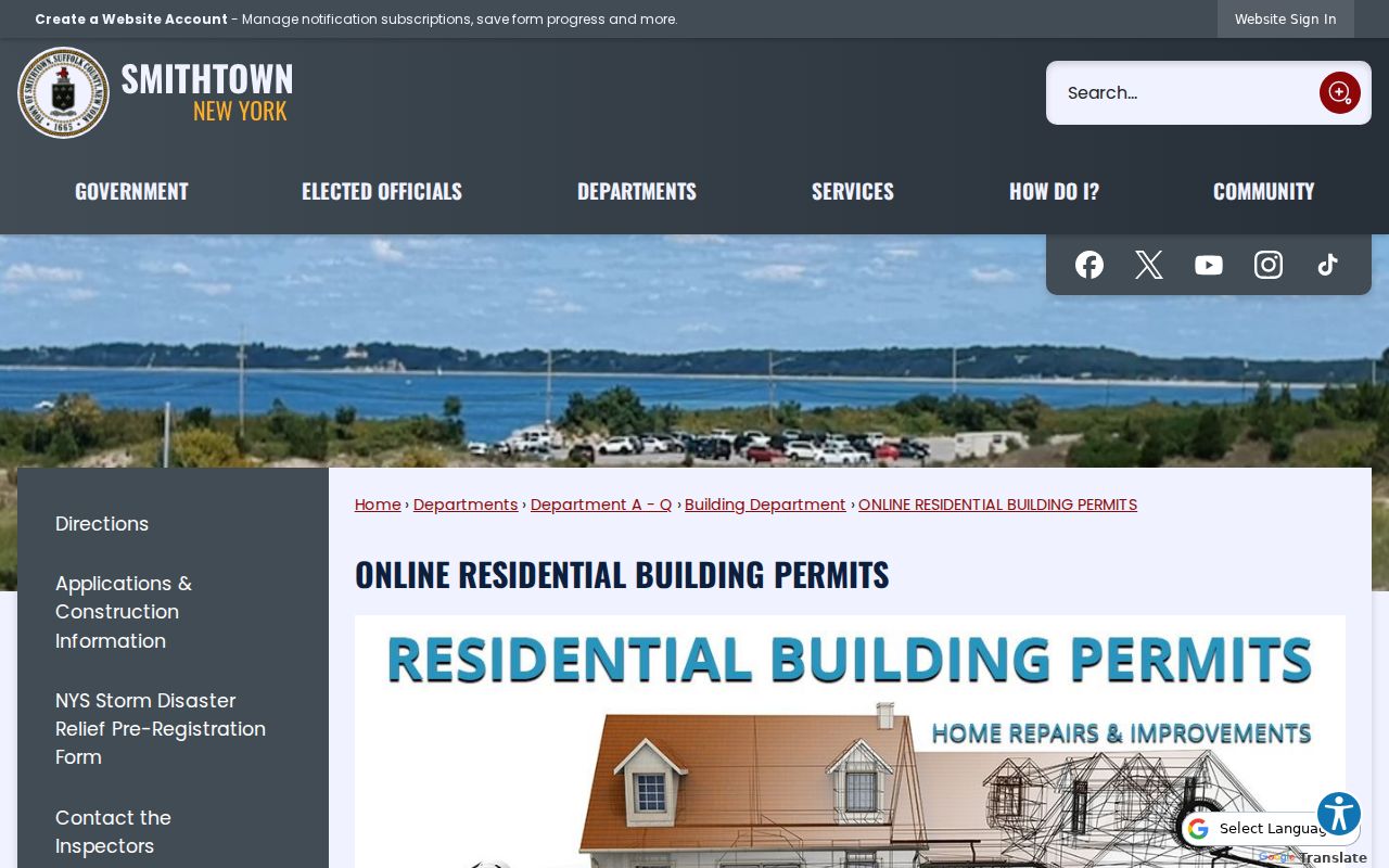
The permit route is most useful when a construction or alteration date needs to be compared with a parcel or deed record.
Smithtown Street Record Terms
Several address terms keep unlike records from being treated as the same thing. They matter in Smithtown because town, village, hamlet, postal city, and district labels can overlap. Record the original wording before standardizing an address for a new search.
- Parcel
- A defined piece of land in the tax-map system, identified by a tax-map or DSBL-style number and shown as a GIS polygon.
- Situs address
- The physical property location used by the Assessor, GIS, permits, street labels, and public notices.
- Mailing address
- The tax correspondence destination for an owner or account. It may be outside Smithtown and does not prove residence at the parcel.
- Plat or filed map
- A recorded subdivision or map document that can show how lots were created and how a legal description connects to a parcel.
- Criss-cross directory
- A historical reverse-style directory that may organize dated subscribers or entries by address rather than only by name.
These distinctions also help with older sources. A telephone listing may indicate a past subscriber, while a deed names parties to a transfer. Compare both with the parcel identity rather than treating either as proof of continuous residence.
Smithtown Street Postal Geography
Smithtown contains the hamlets of Kings Park, Smithtown, St. James, Nesconset, Commack, and Hauppauge, plus parts of Fort Salonga and Lake Ronkonkoma. It also contains the incorporated villages of the Branch, Head of the Harbor, and Nissequogue. Commack and Hauppauge are divided with neighboring towns. A Northport postal label or a Hauppauge address is therefore not automatically an error or proof of the municipal jurisdiction.
This geographic overlap shapes street research. GIS jurisdiction layers can place a parcel against Town Boundaries, Villages, Hamlets, ZIP Codes, School Districts, and Fire or Sewer Districts. Use those layers before assuming that two similarly labeled addresses share the same records office. For a ZIP-first inquiry, the Smithtown postal-area lookup narrows the postal side before an address-level search begins.
Smithtown Street Voter Confirmation
The New York State Voter Lookup is a narrow confirmation tool, not a street roster. Its normal workflow uses county, last name, first name, date of birth, and ZIP Code, with Suffolk selected for this area. A match can be checked against an address and other dated public records, but it cannot be used to enumerate everyone on a road. The public form requires JavaScript and its fully rendered address field was not captured in the research.
New York's public voter rules have important exceptions. Protected voters and Address Confidentiality Program participants have confidentiality procedures, and certain identifying numbers are excluded from public inspection. The statewide voter-file route is different from the web form: it requires a written request and an election-purpose statement. A missing match may reflect an inactive or changed record, protection, a name variation, or a mismatch in the form's conditions.
Smithtown Street History Sources
Historical material can fill a dated gap after the title trail has been checked. Smithtown Library's Long Island Room holds local and historic newspapers, obituary material, photographs, subject files, and research databases. The NYS Library documents West Suffolk County telephone runs for 1932, 1937/38, and 1940/41, plus Tri-Village Area runs from 1932 through 1992/93. The exact Smithtown reverse-directory run was not verified, so request a librarian's confirmation instead of assuming a volume covers a particular road.
The Long Island Room is currently closed until further notice because of flood recovery and planned relocation. Begin by phone or email, rather than promising walk-in access. A dated telephone, newspaper, or criss-cross reference can point to a subscriber or event address, but should be compared with deeds, assessment history, court, vital, or archive records before it is used to distinguish people with similar names.
Smithtown Street Search Limits
An address search cannot show every person at an address. Non-owner occupants, utility customers, unlisted subscribers, DMV address data, protected voter information, sealed court parties, and a guaranteed present occupant are not a public street list. A tax mailing address is a correspondence clue. A permit is a work-history record. A voter match is limited to a named registrant. Each can be useful, but none should be stretched beyond its source.
Lawful use. Use address and public-record sources for lawful personal research, family history, property questions, or civic understanding. Do not use information from a street search to stalk, harass, intimidate, or harm another person.
When an online search ends, use the documented alternative: assessment-roll PDFs, the Assessor or Building Department staff, a County Clerk counter or records-management request, Suffolk BOE, the library, or a targeted FOIL request for an existing record. That route is more reliable than guessing from a thin online result.